David Burdett on Navigation
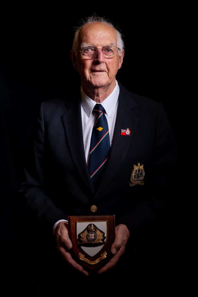
It was then that I went to work on a ship which had been used by Trinity House, had been the ‘Trinity Explorer’ but then became a ship working for the offshore oil industry and then sort of back in the offshore oil industry and not working on the Island. Oh, that’s right, we had a contract with the Royal Navy.
The Royal Navy at that time had a Hydrographic Department and produced charts which were among the best charts in the world. The Hydrographic Department were very well respected globally and the charts around the UK coast had been drawn on what we call ‘lines of sounding’.
So, a Survey Vessel would go along, and a man would drop a line with a lead weight on the bottom and say how deep the water is and they would do this every so many hundred yards apart, so nobody knew what was in between.
So, with modern technology, they can have scanners towed behind a Survey Ship which looked at the whole sea bed for a wide section, so the Admiralty had decided to re-survey the whole of the British waters. It was a …well when we got the contract, there was still ten years to run, it may have been a twenty-year contract. And so again, that was four weeks on, four weeks off, ideal working conditions, interesting work helping to create the charts that help navigators sail around the UK coast.
We spent one summer surveying the waters between the Isle of Wight and the Cherbourg peninsular and two messages came out of that. One was the lack of wildlife, there were very few fishing boats. And then another was the absence of British ships. We rarely saw a Red Ensign going up and down the English Channel


